
Season’s First Major Western Disturbance to Bring Heavy Snowfall and Rain in J&K
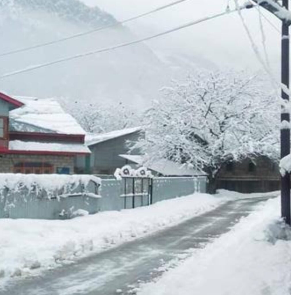
Jammu and Kashmir is set to experience its first major western disturbance of the season, starting from the evening of February 25 until March 1. According to the latest forecasts, very heavy snowfall is expected over higher reaches, including Sinthan Top, Peer Ki Gali, Razdan Top, Zojila Pass, Sonamarg, Gulmarg, Baltal, Pahalgam, and other upper areas.
Additionally, heavy rainfall is predicted in the plains of Jammu and Kashmir, while snowfall is also likely in the plains of the Kashmir Valley. The peak intensity of this weather system is expected between February 26 and 28.
Authorities and residents are advised to stay updated with further details, which will be shared tomorrow morning.
Source: Kashmir Weather Forecast